MAPPING
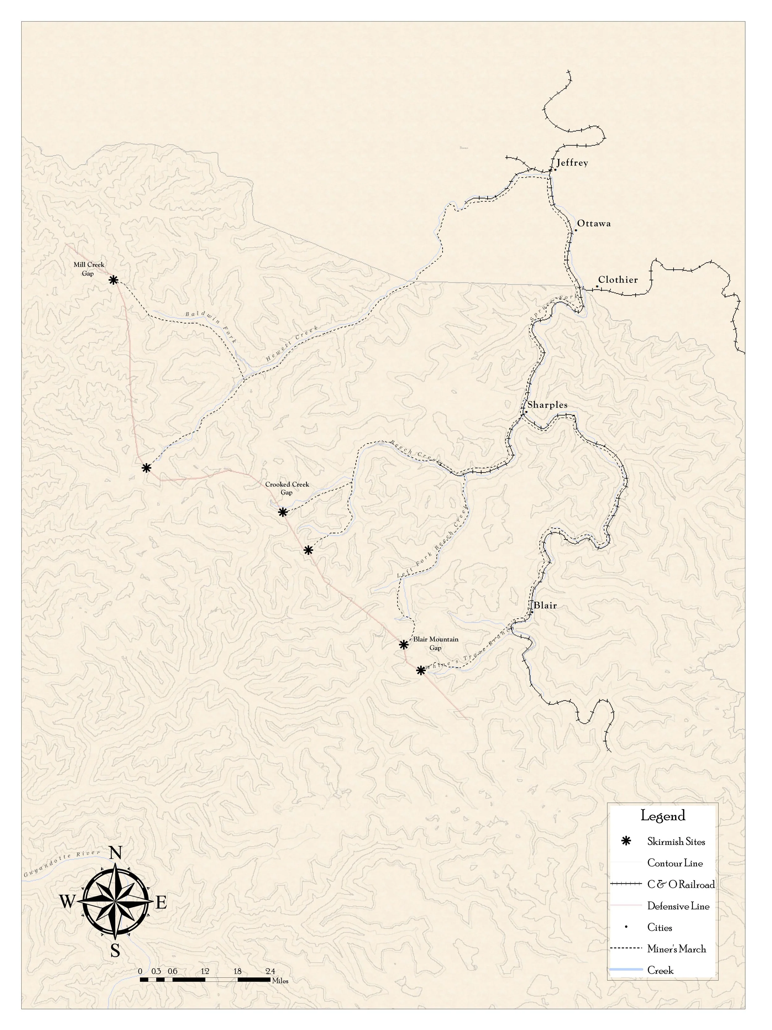
At Carolina Spatial Solutions, one of our specializations is in creating innovative, aesthetically pleasing, and high-quality maps. We combine art, science, and technology to visualize geographic data, ensuring you have the best design for your project. With a strong background and foundation in cartographic principles and GIS, we can work with you to create a map from scratch or utilize existing work and make it better. We have created maps based on historic data and research as well as field collected data. We can help you create professionally crafted maps for any type of project. We have developed maps for museums, city, regional and state governments, as well as educational institutions.

