GIS
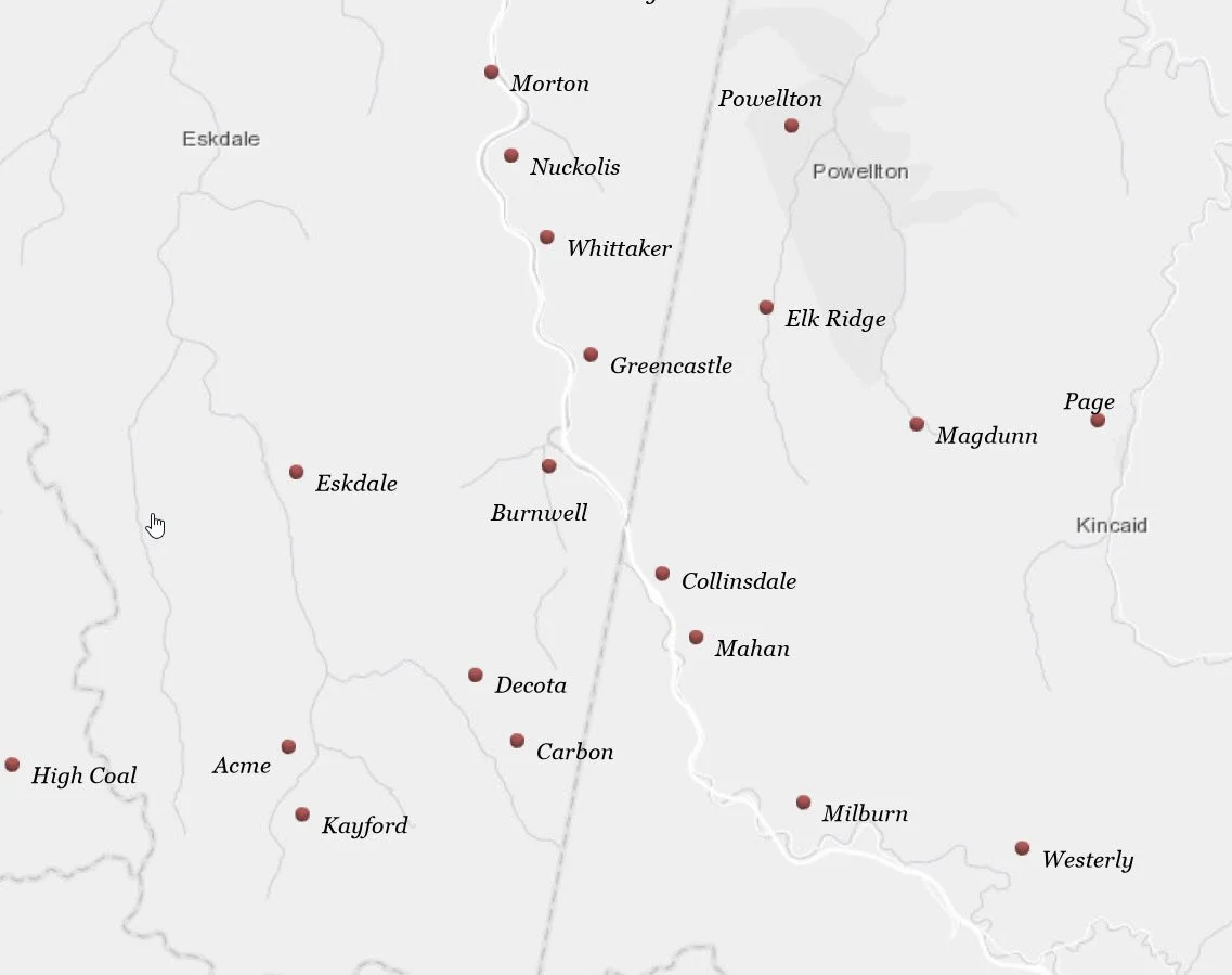
With a PhD based in GIS and cartographic principles and 15 years industry experience, Carolina Spatial Solutions can help you create GIS based web applications, including Story Maps and API integrated projects, as well as paper maps crafted from historical and field collected data. We have created geodatabases and systems for Educational Institutions and City, Local and State Government offices. In addition, we have more than 10 years’ experience in the private sector mapping and developing data-driven utility networks, including gas, water, fiber and electric.
At Carolina Spatial Solutions, we have spent the last 10 years helping major utility companies transition from one type of GIS software to another. We specialize in ESRI products, including Utility Network and ArcPro, as well as GE Smallworld based systems.

